An image tells a robot where something appears in the camera view. A point cloud goes further: it samples where visible surfaces lie in three-dimensional space.
1. What is a Point Cloud?
A point cloud is a collection of points whose coordinates sample surfaces in 3D space. Each point usually stores a position and may also carry color, intensity, confidence, or a semantic label.
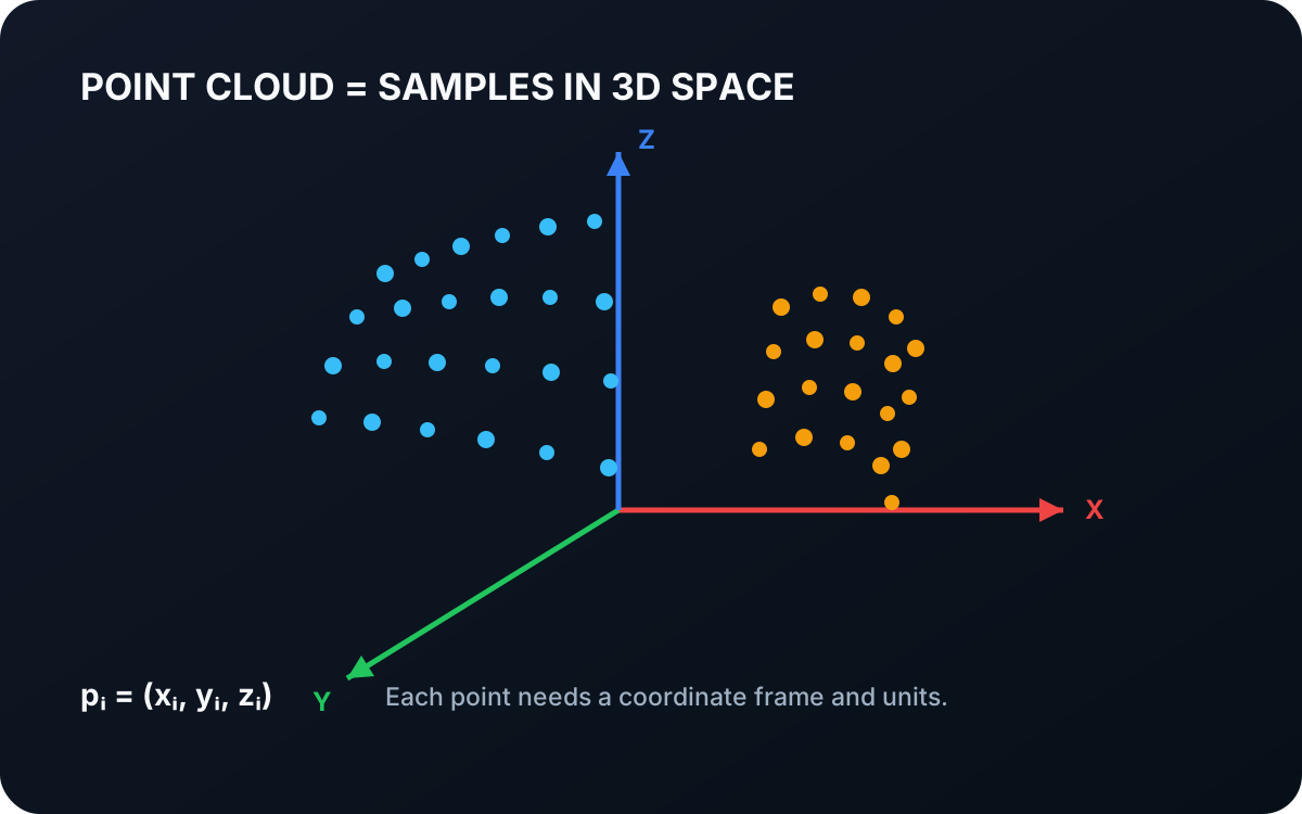
A basic point cloud can be written as
is the complete point cloud, is the number of points, identifies one sample, and , , and are that point’s coordinates.
Unlike pixels, points do not have to form a rectangular grid. They can be irregularly spaced, and their density normally changes with distance and viewing angle.
1.1 Every Point Needs a Coordinate Frame
The coordinates are meaningless without a frame and units. In a camera frame, the axes are attached to the camera. In a robot-base frame, they are attached to the robot. The same physical point has different coordinates in each frame.
A rigid transform moves a point between frames:
is a point in camera frame ; is the same point in robot-base frame ; is the rotation from to ; and is the corresponding translation. Camera-to-robot calibration estimates this transform.
Interactive coordinate frame
Apply a rigid transform to the same points
Coordinates change when the frame changes; the physical shape does not. Registration estimates this rotation and translation between clouds.
1.2 Where Point Clouds Come From
A depth camera can produce an organized point cloud by back-projecting every valid depth pixel. Its points retain the rows and columns of the source depth map, which makes image-to-point lookup easy.
A lidar produces points by measuring distance along emitted laser directions. Its cloud may form scan rings rather than an image grid. Multiple captures can also be registered into one larger cloud, but moving objects and calibration error can create doubled or blurred geometry.
1.3 A Point Cloud Is a Sample, Not a Solid Object
Points describe observed surface locations. They do not automatically define which points belong together, what lies between them, or what the object looks like on its unseen side.
Common processing stages add that structure:
| Operation | Purpose |
|---|---|
| Filtering | Remove noise or reduce point density |
| Segmentation | Separate surfaces or objects |
| Normal estimation | Approximate local surface orientation |
| Registration | Align clouds captured from different poses |
| Clustering | Group nearby points into candidate objects |
| Pose estimation | Align a known object model with observed points |
Sparse sampling can miss thin parts. Reflective surfaces can create outliers. Occlusion means a single viewpoint only observes visible surfaces. A dense-looking cloud should therefore not be mistaken for a complete or perfectly accurate model.
2. Images, Depth Maps, and Point Clouds
| Representation | Organized as | Stores |
|---|---|---|
| Color image | 2D pixel grid | Appearance measurements |
| Depth map | 2D pixel grid | One surface distance per valid pixel |
| Point cloud | 3D point samples | Spatial coordinates in a stated frame |
These representations are complementary. An image is convenient for appearance models, a depth map connects distance to pixels, and a point cloud makes geometry explicit for measurement, collision checking, and pose estimation.
2.1 The Telekinesis PointCloud Datatype
Telekinesis represents this data with datatypes.PointCloud. Positions are required as an array with shape (N, 3), where N is the number of points. Matching (N, 3) arrays can optionally store surface normals and RGB colors.
import numpy as np
from telekinesis import datatypes

positions = np.array([[0.2, -0.1, 1.4], [0.3, -0.1, 1.4]], dtype=np.float32)
point_cloud = datatypes.PointCloud(positions)
The datatype validates the array shape, but it cannot infer the coordinate frame or physical unit. Keep that metadata explicit in the surrounding robot system.
3. Where to Go Next
 Basic · 4 min read
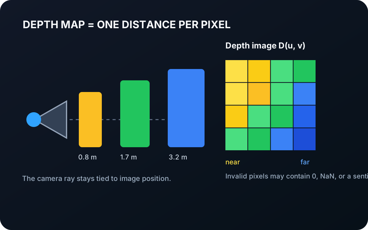
What is a Depth Map?
A depth map stores an estimated distance for each image position. Learn how depth remains aligned with pixels, how it differs from color, and how calibration converts it into 3D geometry.
Read tutorial →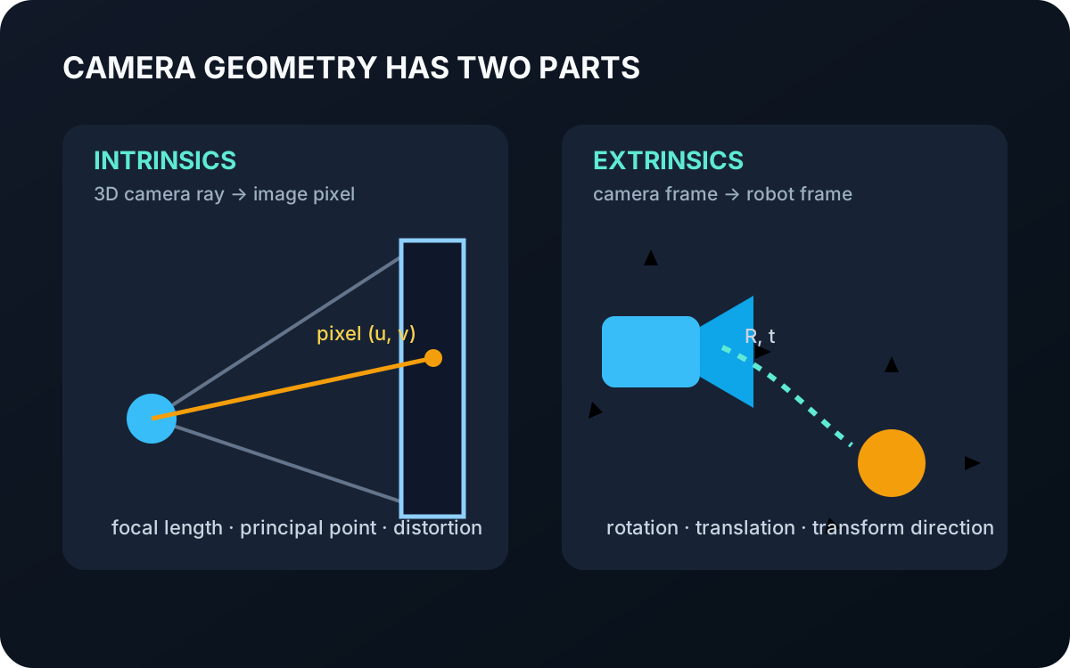 Basic · 3 min read
What are Camera Intrinsics and Extrinsics?
Camera intrinsics describe how 3D rays map to pixels, while extrinsics place the camera in another coordinate frame. Learn why robots need both and how Telekinesis represents them.
Read tutorial →